SYLTRAN 33

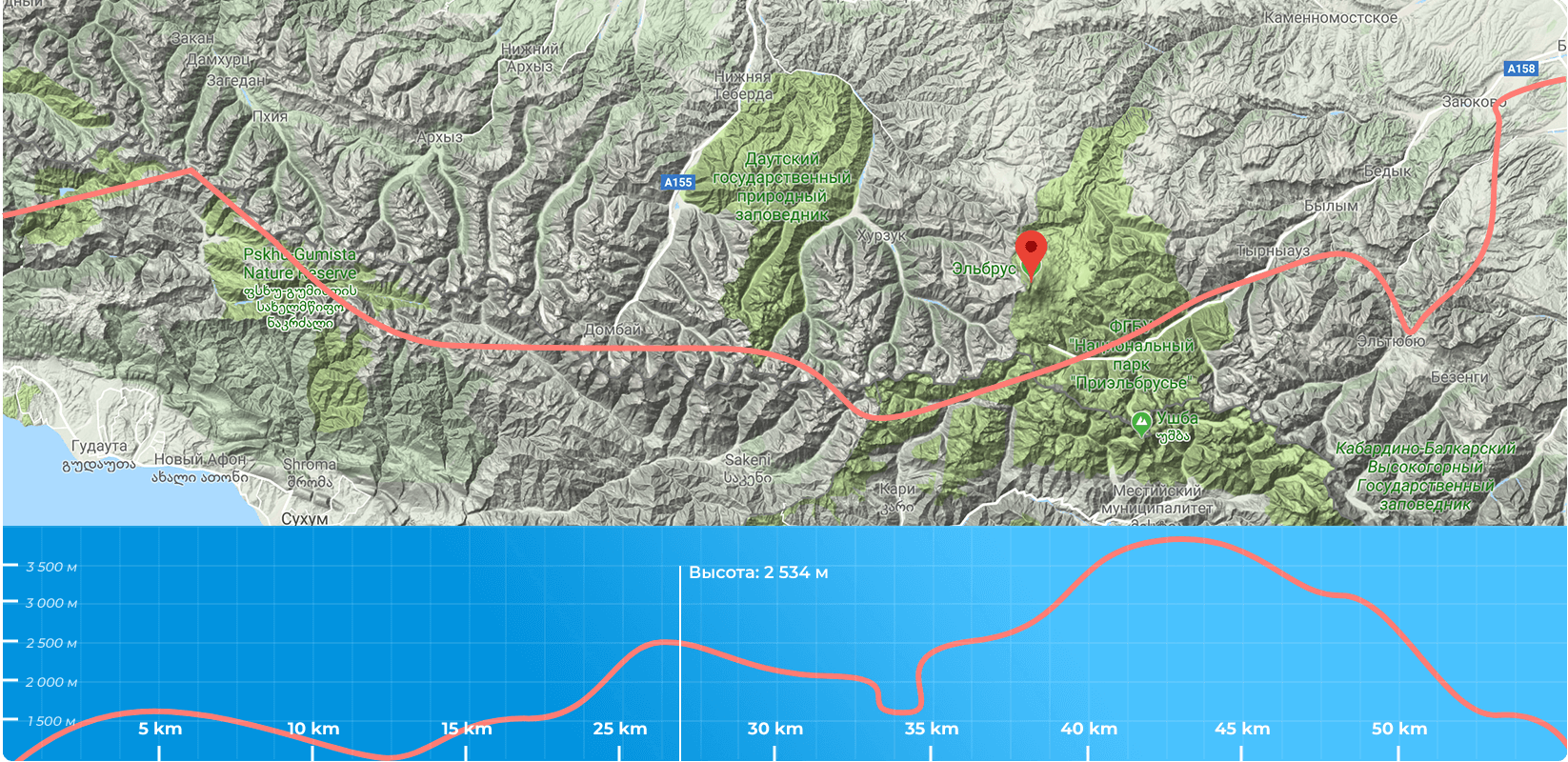
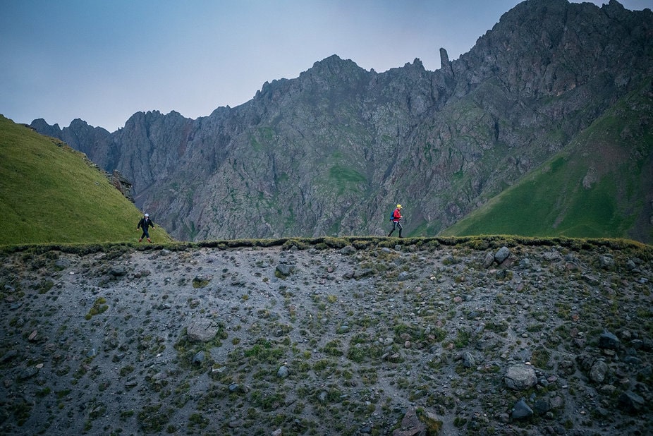
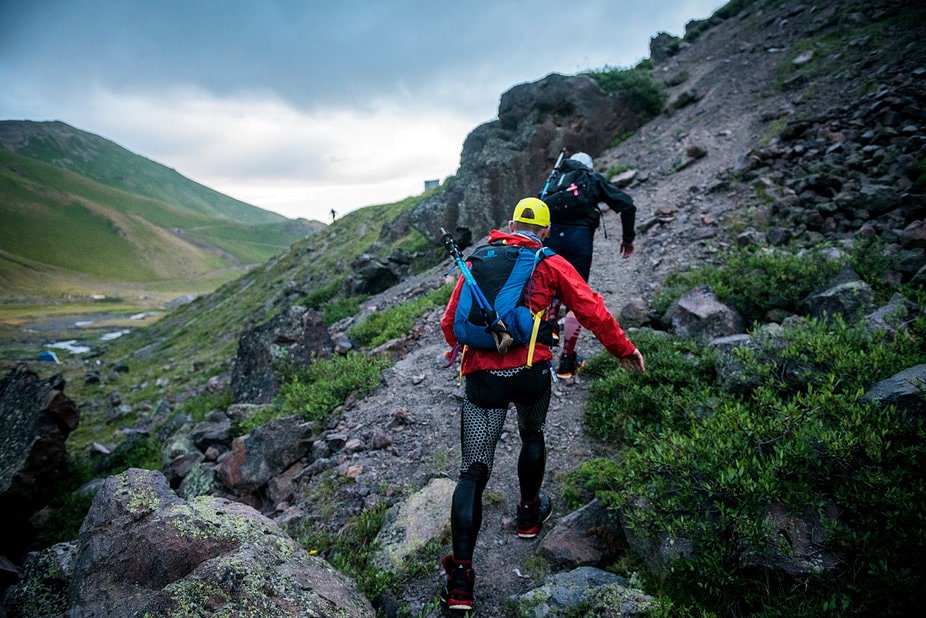
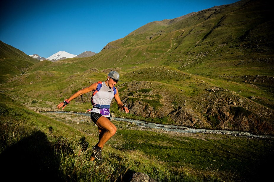
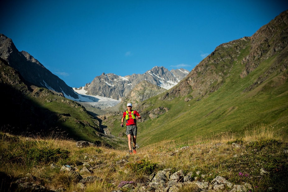
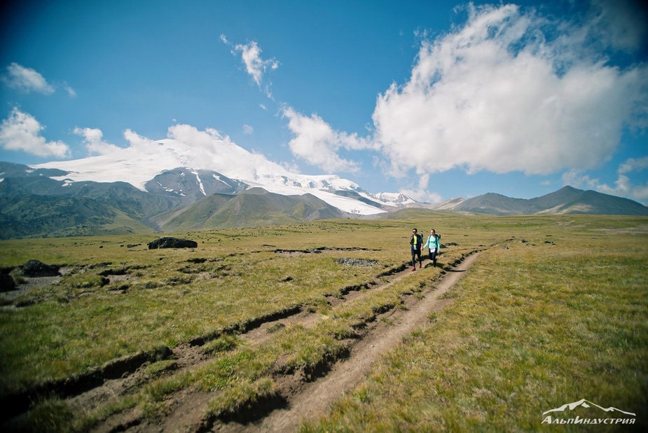
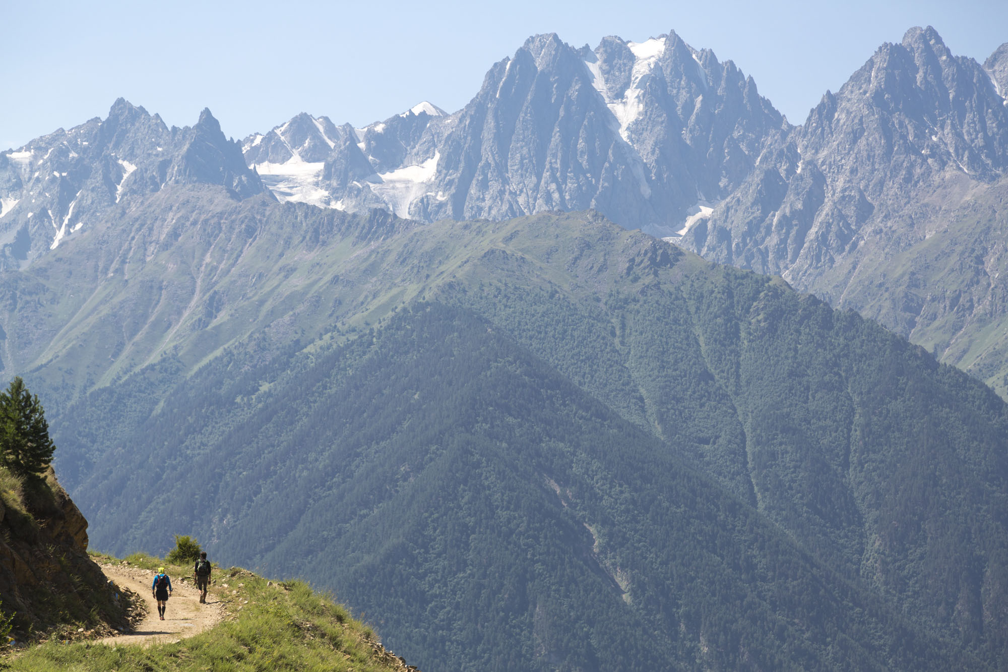
It is a true mountain race with steep slopes, rocks rolling under your feet and total elevation gain of 2400 meters. This route requires a very good training and strong motivation.
Registration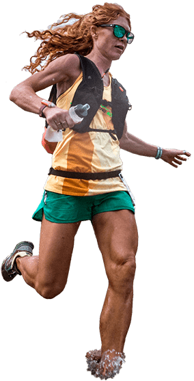
It is a true mountain race with steep slopes, rocks rolling under your feet and total elevation gain of 2400 meters. This route requires a very good training and strong motivation.
Registrationlength
Ascent
Time limit
until 15.01.2022
until 31.05.2022
until 20.07.2022
<
для всех остальных
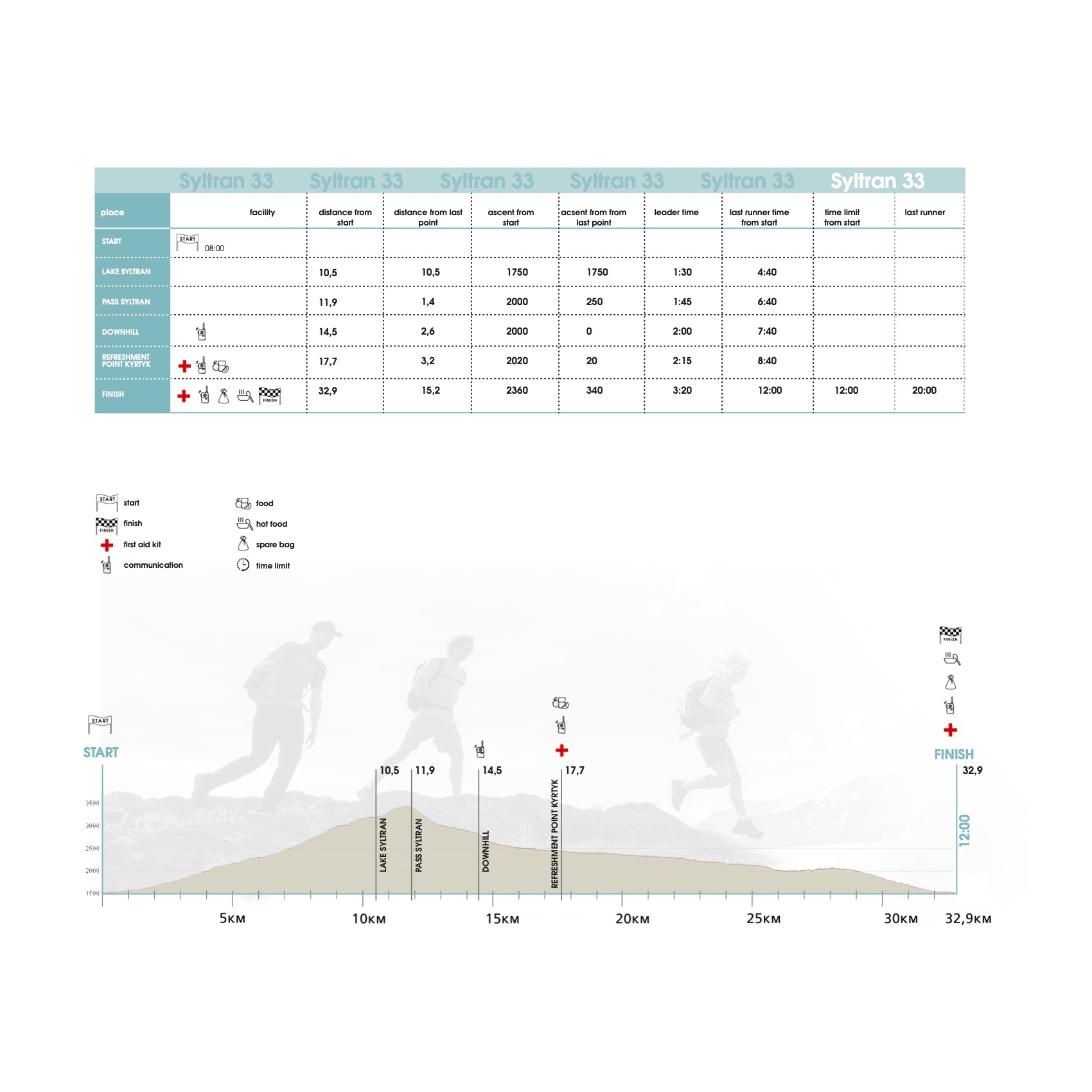
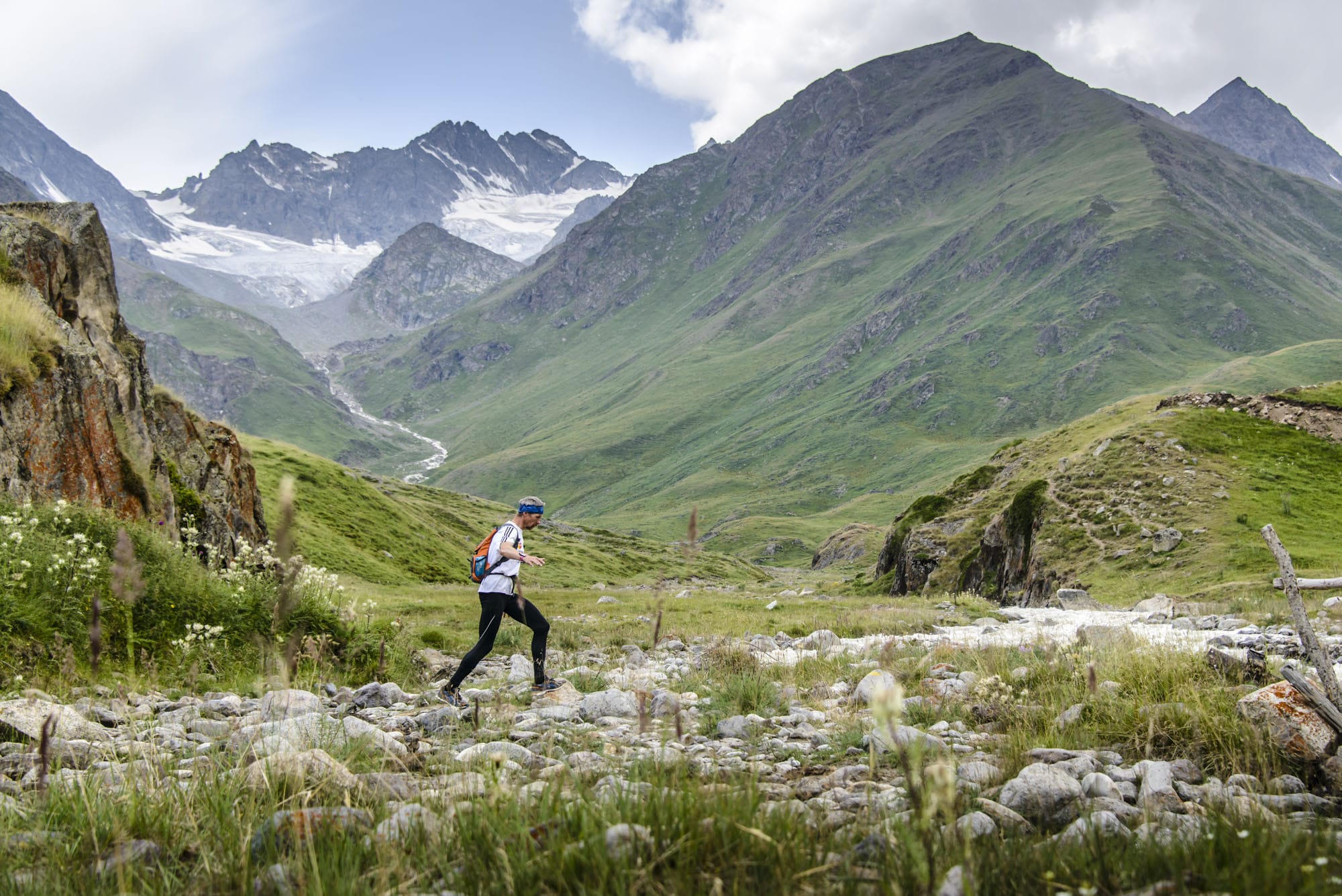
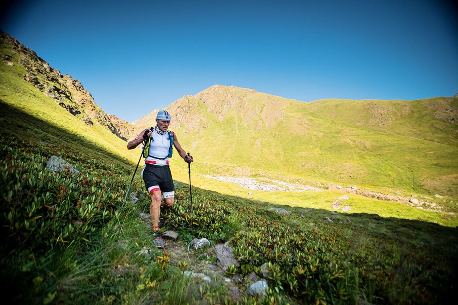
The first kilometer from the start line runs on asphalt with minimum elevation gain. Poles are forbidden in this zone of the route. Next 5,5 km you go up along a dirt road with total elevation of 800m. At the end of the road there is a stream, where you can, for the first time since the start line, replenish water supplies. After crossing the stream the route goes up for 4 km with the total elevation gain of 800 meters. Winding through “kurumnik” (conglomeration of big rocks) the route will lead you to the Lake Syltran. After passing the Lake, you run for another kilometer among kurumnik with the elevation gain of 400 meters and go out the Syltran pass.
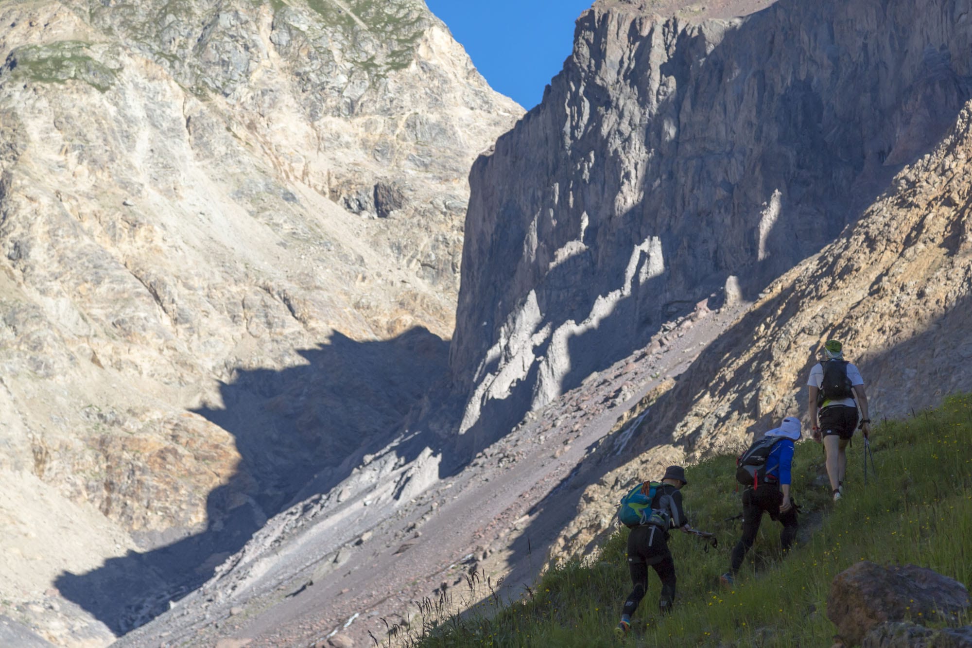
Here, you start the descend from the Pass, which goes along a very steep talus slope for the first kilometer, followed by another kilometer on a more flat trail. Then, you will face the most steepest descend, which is very scary, according to the previous participants.
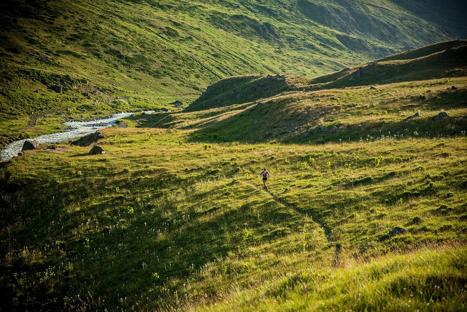
The next 2 kilometers is a more relaxed descend among alpine fields that will lead you to the bridge. After crossing the bridge, the route goes out to the road which takes you in 1 kilometer to the Food Chech point.
ATTENTION. After passing the Check Point, it is important to return to your trail. Syltran 33 goes down the road to the right when Suarykaush 44 and Chatkara 60 go up to the left.
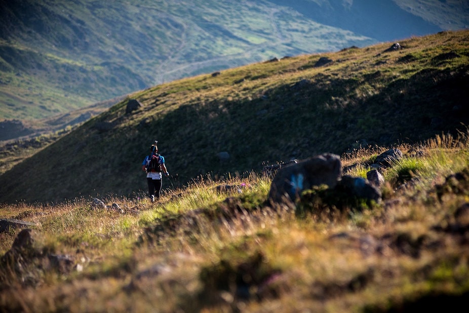
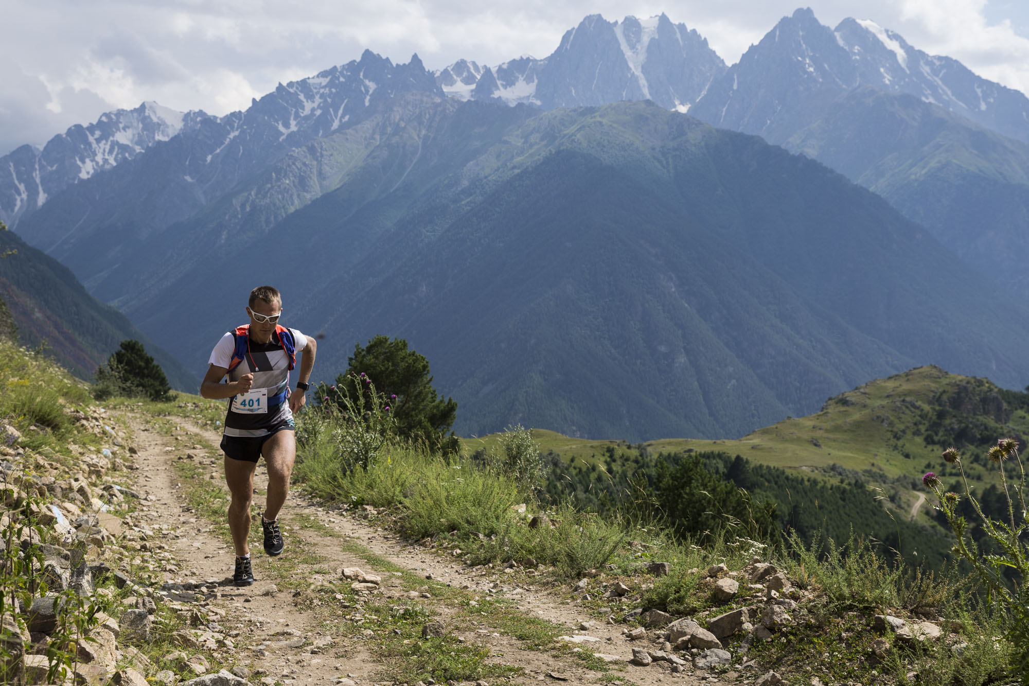
After Kyrtyk Check Point it is another 15,2 km down to the finish line. On your way down streams can be found and water supplies can be replenished. For the first 11,5 km of the descend on the dirt rode the elevation drop is 450 meters and another 400 meters in 2,5 km. At this point you will reach a small town. It is another kilometer on the asphalt road till the finish line.

Lorem ipsum dolor sit amet, consectetur adipisicing elit, sed do eiusmod tempor incididunt ut labore et dolore magna aliqua. Ut enim ad minim veniam, quis nostrud exercitation ullamco laboris nisi ut aliquip ex ea commodo consequat.

Lorem ipsum dolor sit amet, consectetur adipisicing elit, sed do eiusmod tempor incididunt ut labore et dolore magna aliqua. Ut enim ad minim veniam, quis nostrud exercitation ullamco laboris nisi ut aliquip ex ea commodo consequat.

Lorem ipsum dolor sit amet, consectetur adipisicing elit, sed do eiusmod tempor incididunt ut labore et dolore magna aliqua. Ut enim ad minim veniam, quis nostrud exercitation ullamco laboris nisi ut aliquip ex ea commodo consequat.

Lorem ipsum dolor sit amet, consectetur adipisicing elit, sed do eiusmod tempor incididunt ut labore et dolore magna aliqua. Ut enim ad minim veniam, quis nostrud exercitation ullamco laboris nisi ut aliquip ex ea commodo consequat.

Мы ответим на ваши вопросы в ближайшее время
Пожалуйста, отправьте данные еще раз